Dozens of Kenyan Counties on Alert as Meteorological Department Warns of Heavy Rains and Flash Floods Peak October 26-28
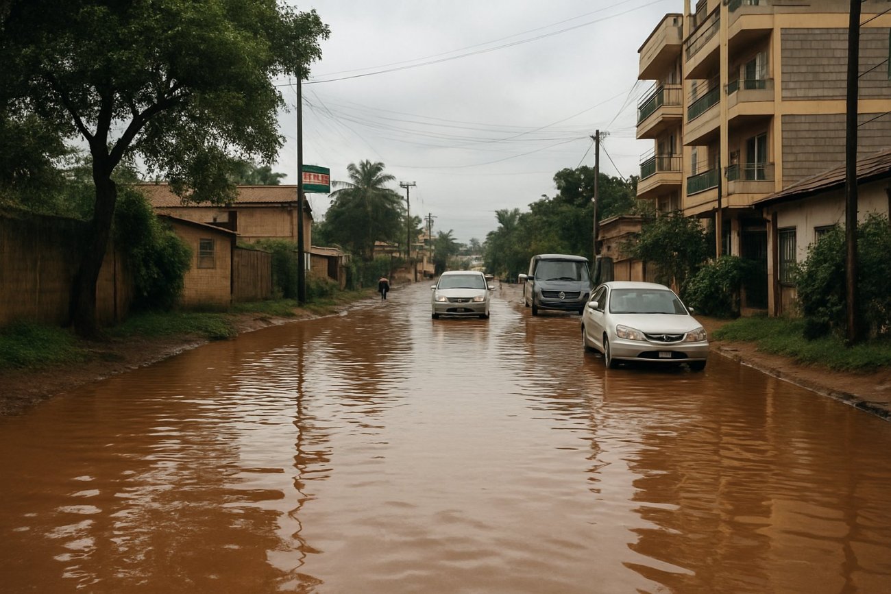
The Kenya Meteorological Department has warned of heavy rainfall, flash floods and strong winds across dozens of counties, with the heaviest downpours forecast to strike between October 26 and 28, 2026. The advisory places much of the country, including the capital Nairobi, on weather alert with barely a day’s notice before the worst of the rain arrives.
The warning was issued on October 25, a Sunday, meaning the peak of the event falls across the first three days of the working week, Monday October 26 through Wednesday October 28. According to the forecast, the hazardous conditions will extend across dozens of counties rather than being confined to a single region, broadening the potential exposure of people, property and transport links from the outset of the week.
Three distinct hazards are named in the advisory. Heavy rainfall raises the risk of drains and watercourses overtopping; flash floods, the sudden fast-moving flooding that follows intense downpours, threaten low-lying ground, urban streets and crossings; and strong winds add the danger of damage to roofs, trees, power lines and other exposed structures. Taken together, the three hazards form the classic profile of a severe seasonal rain episode.
Flash flooding is typically the most dangerous element in such forecasts. Unlike slow-onset river flooding, it can develop within minutes of a cloudburst, catching motorists, pedestrians and residents of flood-prone zones off guard. A multi-day window of intense rain, as forecast for October 26 to 28, also raises the cumulative risk, because waterlogged ground and drainage channels already filled by early downpours have little capacity left to absorb what follows.
The advisory comes at a time of year when Kenya traditionally receives one of its two annual rainy seasons, and flooding has long ranked among the country’s most disruptive natural hazards. County governments rely on forecasts from the Kenya Meteorological Department to position emergency responses, issue public notices and, where necessary, coordinate movement away from areas expected to be inundated. An advisory covering dozens of counties at once stretches that preparedness machinery across nearly the entire national map.
The scale of the warning also reflects a wider pattern. In fast-growing cities across Africa and other developing regions, flash floods have become an intensifying challenge where drainage, settlement patterns and infrastructure have not kept pace with urban growth, and advance meteorological alerts such as the one now in force are a central tool for limiting casualties and property damage before water rises rather than after.
For now, attention turns to whether the forecast verifies. The days between October 26 and 28 will show whether the heaviest downpours materialize where expected and whether flash floods and damaging winds follow in their wake. The Kenya Meteorological Department routinely updates its advisories as conditions evolve, and further bulletins could extend, escalate or scale back the alert depending on how the weather system develops and tracks across the country.
Also in play is the shape of the wider season. The October 26-28 peak opens a period that forecasters and disaster agencies will monitor closely, since early-season flooding can set the pattern for the rains that follow in the weeks ahead. For the dozens of counties named in the warning, the immediate test is the three-day window that opens on Monday, with Nairobi among the areas braced for the heaviest downpours.